
Area guide
The Jasper, Arkansas area guide, with drive times from the cabin
Bearly Earth sits between Jasper and Pelsor near Scenic Highway 7, in the middle of the best of the Arkansas Ozarks. Here's how far everything is, and what's worth the drive.
- Grand Canyon
- 20 min
- Jasper
- 30 min
- Sam's Throne
- 35 min
- Elk
- 50 min
Featured guides
-
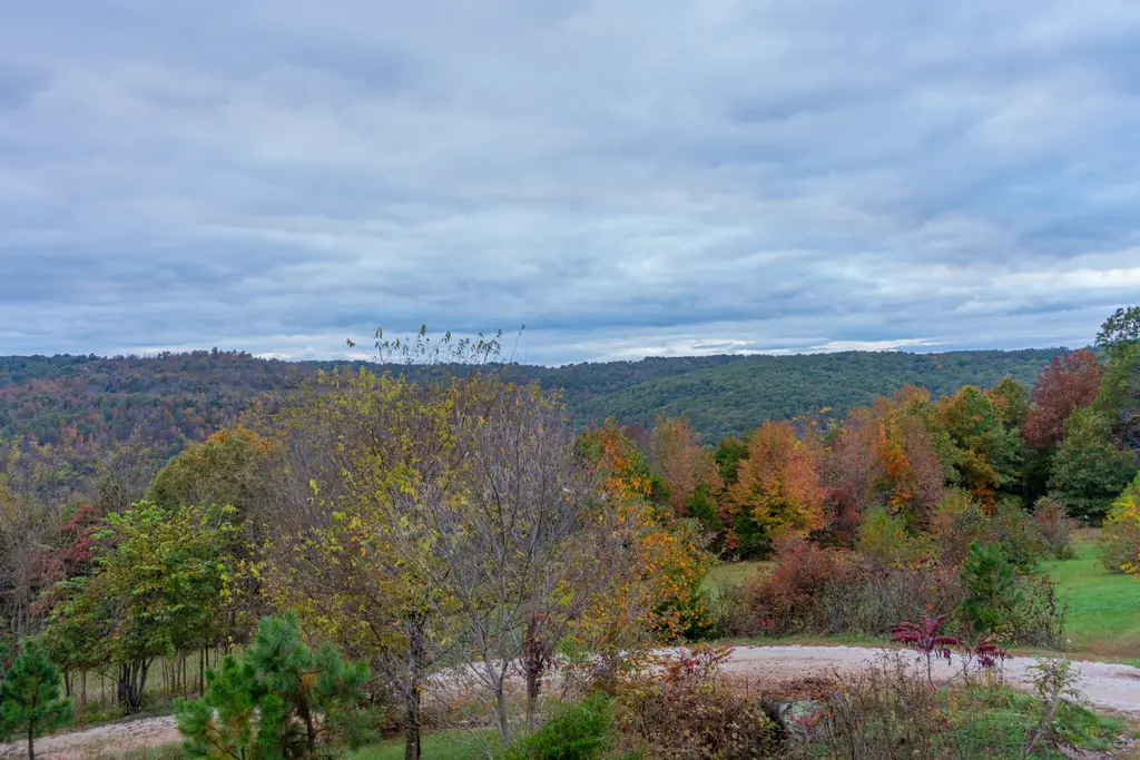
Arkansas Grand Canyon
The Scenic 7 valley overlook at Cliff House.
20 min 10 mi
-
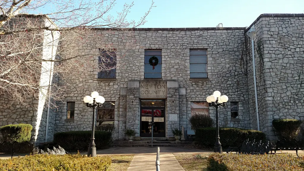
Jasper, Arkansas
The courthouse square, cafés, pizza and outfitters.
30 min 17 mi
-
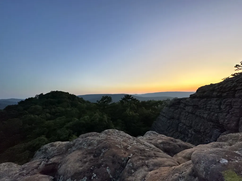
Sam's Throne
Trad climbing, short hikes and huge views.
35 min 19 mi
-
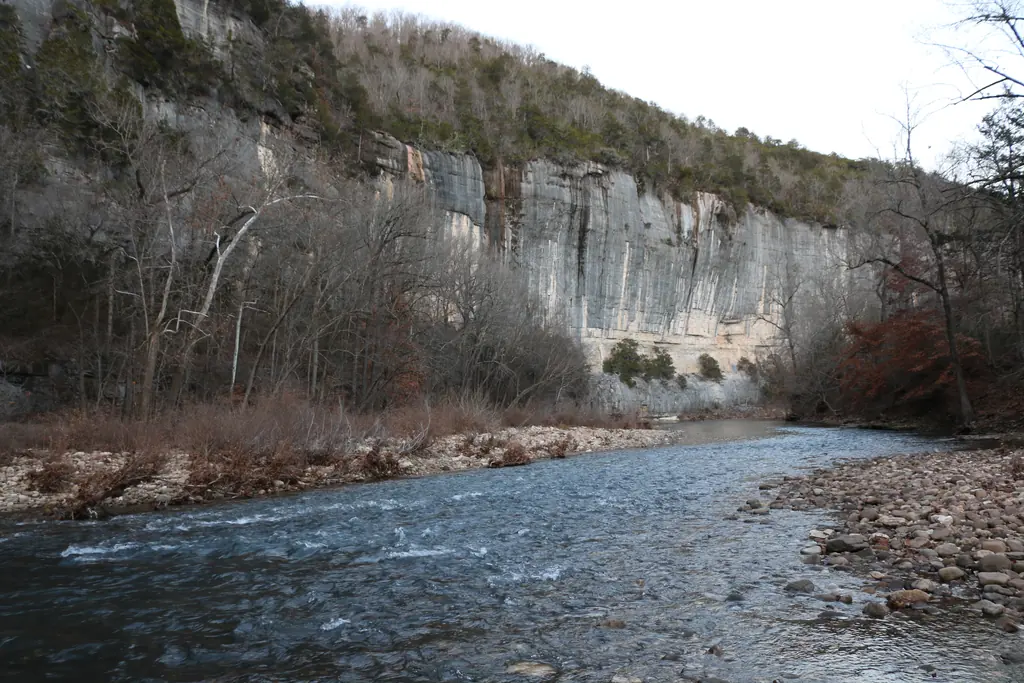
Buffalo National River
Floats, swimming holes and smallmouth bass.
40 min 23 mi
-
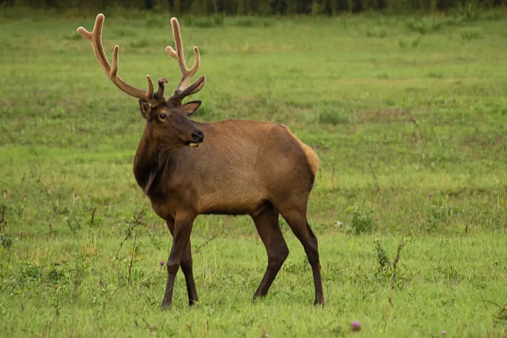
Boxley Valley elk
Where the elk are, at dawn and dusk.
50 min 32 mi
-
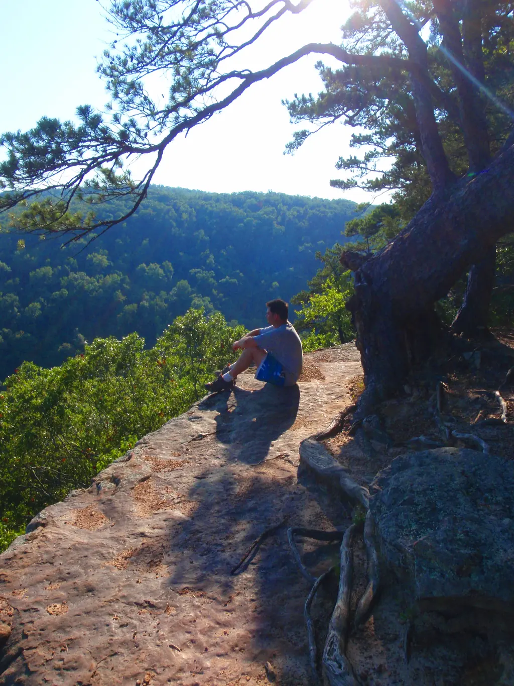
Hawksbill Crag
The famous Whitaker Point overlook hike.
1 hr 10 min 30 mi
Map
Everything within an easy day trip
All distances
Trail sign
From Bearly Earth
Drive · Distance
- Deer, AR Closest community & café15 min 4.1 mi
- Alum Cove Natural Bridge 130-ft sandstone arch15 min 5.5 mi
- Arkansas Grand Canyon Hwy 7 overlook at Cliff House20 min 10 mi
- Pelsor / Sand Gap Hwy 7 & Hwy 16 junction20 min 12 mi
- Rotary Ann Overlook Scenic 7 Byway pull-off25 min 16 mi
- Jasper, AR Town square, dining, outfitters30 min 17 mi
- Pedestal Rocks Scenic Area Two easy loop trails30 min 18 mi
- Glory Hole Falls Waterfall through a rock roof35 min 17 mi
- Sam's Throne Climbing, hiking, views35 min 19 mi
- Pruitt Landing (Buffalo River) Float & swim access40 min 23 mi
- Moccasin Gap OHV trails Forest Service OHV system40 min 26 mi
- Haw Creek Falls Creekside falls & camping45 min 25 mi
- Kyles Landing (Buffalo River) Rough, steep gravel access45 min 24 mi
- Horseshoe Canyon Ranch 900+ climbing routes50 min 26 mi
- Ponca Nature Center (elk) Free elk exhibits & sightings info50 min 31 mi
- Boxley Valley elk viewing Hwy 43 pullouts, dawn & dusk50 min 32 mi
- Lost Valley Trail & Eden Falls 2.4 mi round trip50 min 32 mi
- Steel Creek (Buffalo River) Roark Bluff & classic floats55 min 30 mi
- Harrison, AR Groceries & big-box stores1 hr 37 mi
- Hemmed-In Hollow (Compton TH) ~210-ft falls, strenuous1 hr 10 min 40 mi
- Hawksbill Crag (Whitaker Point) Iconic overlook, ~3 mi hike1 hr 10 min 30 mi
- Richland Creek & Twin Falls Rough forest roads1 hr 20 min 26 mi
- Russellville, AR I-40 access1 hr 20 min 51 mi
More places worth the drive
The big names get the attention, but some of the best days around Jasper are spent at smaller spots: a natural bridge 15 minutes from the cabin, a waterfall pouring through a hole in a rock roof, a scenic overlook with a picnic table. Here are the ones guests ask us about most.
A note on caves: Mystic Caverns and Crystal Dome near Marble Falls have been closed since 2021, so don't plan a trip around them. For a cave, the kids will be happier with the rock shelter on the property anyway.
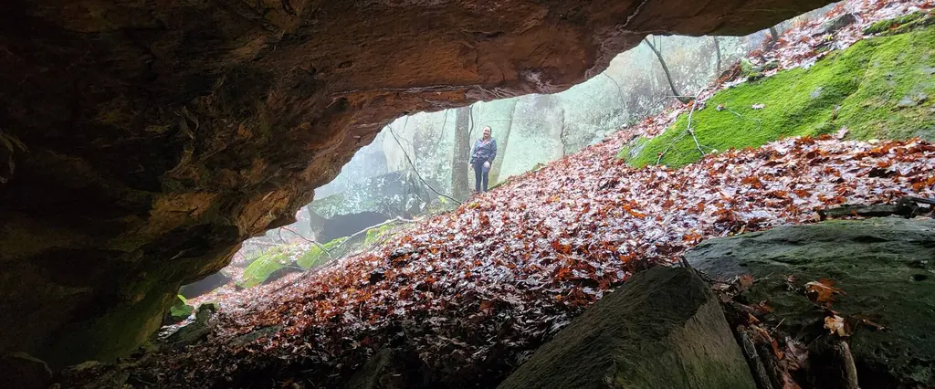
- 15 min
Alum Cove Natural Bridge
A 130-foot natural sandstone bridge on a short, free loop trail. It is the closest hike to the cabin.
- 30 min
Pedestal Rocks Scenic Area
Rock pedestals and a bluff-edge waterfall on two easy loops off Highway 16 east of Pelsor.
- 35 min
Glory Hole Falls
A waterfall that pours through a hole in a rock roof, about 2 miles round trip.
- 25 min
Rotary Ann Overlook
A Scenic 7 rest stop with mountain views, picnic tables and a viewing platform.
- 50 min
Horseshoe Canyon Ranch
A private ranch near Jasper with 900+ sandstone climbing routes ($14 day pass).
- 40 min
Moccasin Gap OHV trails
Forest Service multi-use loops with OHV-open sections and a $3 trail pass.
- 45 min
Haw Creek Falls
Small creekside falls with an accessible trail and campground near the Big Piney.
- 50 min
Lost Valley Trail & Eden Falls
A natural bridge, Cob Cave and 53-foot Eden Falls on a 2.4-mile round-trip hike.
- 1 hr 10 min
Hemmed-In Hollow (Compton TH)
A roughly 210-foot waterfall on a strenuous, 5-mile round-trip descent and climb.
- 1 hr 20 min
Richland Creek & Twin Falls
A wilderness area with Twin Falls. The access roads are rough and the hike is for experienced hikers.
Road-trip distances
How far is Bearly Earth from...
Guests drive in from across the region. These are approximate drive times to the cabin from nearby cities and airports. See Getting here for route tips.
- Harrison airport (HRO) 1 hr 10 min
- Branson, MO 1 hr 50 min
- Conway, AR 2 hr 5 min
- Fayetteville, AR 2 hr 15 min
- Northwest Arkansas airport (XNA) 2 hr 30 min
- Little Rock, AR 2 hr 35 min
- Springfield, MO 2 hr 35 min
- Little Rock airport (LIT) 2 hr 40 min
- Springfield–Branson airport (SGF) 2 hr 50 min
- Tulsa, OK 4 hr 10 min
- Memphis, TN 4 hr 45 min
- Kansas City, MO 5 hr 45 min
- Dallas, TX 7 hr 30 min
Drive times are estimates from OpenStreetMap routing to a point near the cabin, rounded up to the nearest five minutes. Attraction details come from the National Park Service, U.S. Forest Service, Arkansas Game and Fish Commission and Arkansas Tourism, current as of November 2026. Hours and fees change, so confirm before you go. Questions? Message Chuck & Christa through your booking.
Book Bearly Earth
All of it, 70 quiet acres away.
Check live availability and pricing on Airbnb, where Bearly Earth is a Guest Favorite in the top 1% of homes, or book on Vrbo.
- Rating
- ★ 5.0
- Reviews
- 59
- Private land
- 70 ac
- Sleeps
- 10