Skip to content
Bearly Earth Welcome to your adventure

Area guide · Iconic hike

Hawksbill Crag: hiking Whitaker Point from Bearly Earth

A slab of sandstone juts out over the Upper Buffalo Wilderness like a hawk's beak. Hawksbill Crag, also called Whitaker Point, is one of the most photographed places in Arkansas, and it's an easy day trip from the cabin.

From the cabin
1 hr 10 min
Distance
30 mi
Hike
~3 mi RT
Difficulty
Moderate
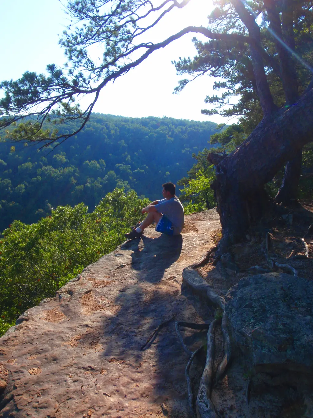
Hiker sitting on Hawksbill Crag (Whitaker Point) above the Upper Buffalo Wilderness Photo: Dameon Hudson , CC BY 3.0 via Wikimedia

About Hawksbill Crag

Hawksbill Crag, officially Whitaker Point, is a projecting sandstone ledge in the Upper Buffalo Wilderness of the Ozark National Forest. The view off the end looks down into the forested headwaters of the Buffalo River, and the classic photo shows a hiker standing on the tip of the beak. In fall, the hollow below turns into a sea of color.

How far is Hawksbill Crag from Bearly Earth?

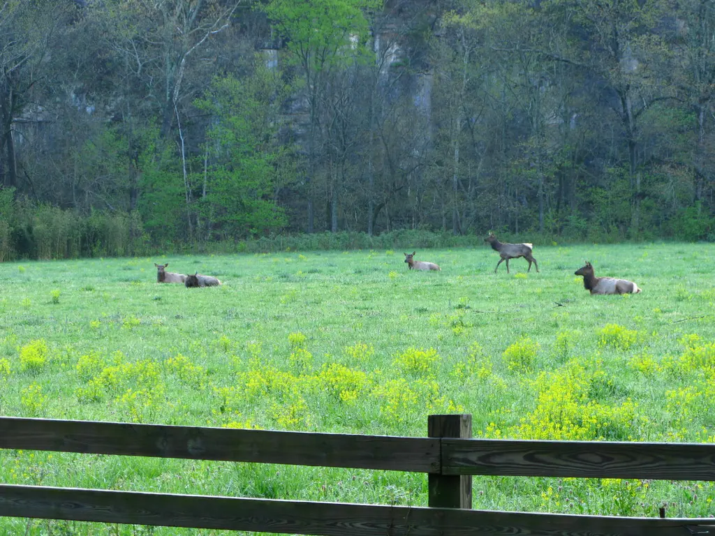
The Whitaker Point trailhead is about 1 hr 10 min (30 mi) from the cabin. The last stretch is on gravel county roads, so drive slowly, especially after rain. Leave early for sunrise or a quiet trail, and pair the trip with elk viewing in Boxley Valley on the way home.

The hike

The trail is about 3 miles round trip and generally rated moderate. It descends gently through hardwood forest, with a few short steep sections, past wet-weather waterfalls in spring, and then follows the bluff line out to the crag. Most of the climbing comes on the way back out. Plan on two to three hours with time for photos.

Know before you go

  • Fees and facilities: The Forest Service lists the trailhead as open 24 hours with no fee, but there's no restroom and no potable water.
  • Parking: Use designated trailhead parking. Weekends in October fill up early.
  • Safety: The crag has sheer, unfenced drop-offs. Stay well back from the edge, keep kids in hand and skip the tip in wind, ice or wet conditions.
  • Seasons: Spring wildflowers and fall foliage are the showstoppers, and winter brings long views and fewer people.

Make it a waterfall day

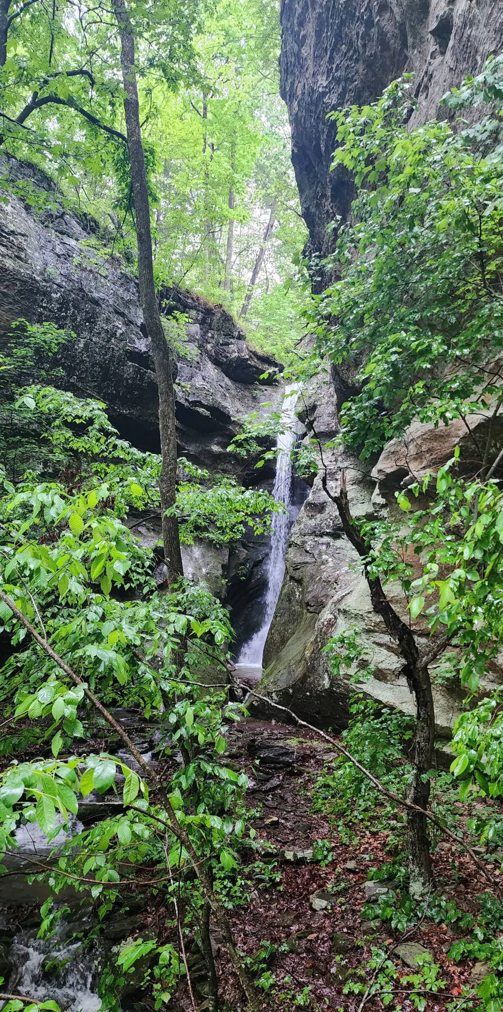
On the way, stop at Glory Hole Falls, where water drops through a hole in a rock roof, about 2 miles round trip off Highway 16/21. You can also save energy for Lost Valley and Eden Falls near Ponca. After a big day in the wilderness, the fire pit and the quiet of 70 private acres are waiting back at Bearly Earth.
Where it is

Whitaker Point Trailhead (Hawksbill Crag) from Bearly Earth

About 1 hr 10 min (30 mi) by car from the cabin. Ozark highways are steep and winding, so drive times are approximate and run longer in fog, snow or behind a tractor.

All distances & the full area guide →
Map of attractions near Bearly Earth Retreat, Jasper, Arkansas Schematic map showing driving routes from the Bearly Earth cabin to Jasper, the Arkansas Grand Canyon, Sam's Throne, Boxley Valley elk viewing near Ponca, Hawksbill Crag, the Buffalo National River and other Ozark sights. Buffalo National River Jasper Arkansas Grand Canyon Sam's Throne Boxley Valley elk Hawksbill Crag Steel Creek Kyles Landing Pruitt Hemmed-In Hollow Horseshoe Canyon Ranch Glory Hole Falls Alum Cove Deer Pedestal Rocks Richland Creek Haw Creek Falls Rotary Ann Pelsor Bearly Earth 70 acres · approx. location 0 10 mi N
Driving routes from the cabin Map is schematic; the cabin marker is intentionally approximate.

Keep exploring

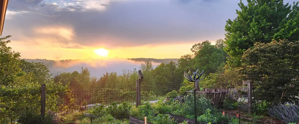
Sunrise over the garden with fog filling the Ozark valley below

Book Bearly Earth

See the crag at sunrise. Sleep on the ridge.

Check live availability and pricing on Airbnb, where Bearly Earth is a Guest Favorite in the top 1% of homes, or book on Vrbo.

Rating
★ 5.0
Reviews
59
Private land
70 ac
Sleeps
10

70 private acres · sleeps 10

★ 5.0 · Guest Favorite on Airbnb

Check dates